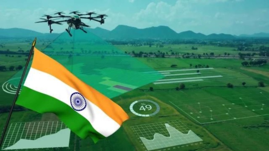
The Indian government intends to integrate artificial intelligence (AI) into its drone-based rural land mapping initiative in order to improve visibility into boundaries between properties, bodies of water, and other areas.
The Indian government plans to expand its drone-based program for mapping rural areas. This initiative will use artificial intelligence (AI) to map out property lines, water bodies, and other features more clearly. The "Survey of Villages Abadi and Mapping with Improvised Technology in Village Areas" (SVAMITVA) program was introduced in 2020 with the goal of offering rural India a complete property certification solution. The project also prioritizes the demarcation of inhabited lands in order to guarantee unambiguous property ownership, minimize property disputes, and produce accurate land records.
Data extraction and AI integration
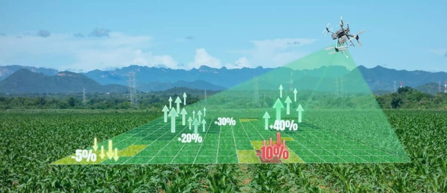
The government also intends to use artificial intelligence to automatically extract data from drone pictures, focusing on elements like road networks, water bodies, and property boundaries. This will improve the program.
The government will make a drone dataset of 300 communities and more SVAMITVA data available for use in training the AI extraction model. At the moment, the National Informatics Centre (NIC) Cloud in Hyderabad is housing the drone data, which has an accuracy of up to 5 cm.
Accuracy and Attitude
The government is aiming for a data extraction accuracy rate of 95% in an RFP that it has sent out to interested entities. It is advised that agencies employ deep learning models like Mask R-CNN or U-Net for image segmentation and Convolutional Neural Networks (CNNs) for image/object detection and classification.
Project schedule and extent
The government has given the agency choosing the new AI model's development two months to complete its work. The government also wants to extract data over 10,000 square kilometers every week.
NIC will also be essential to quality control and assurance at every stage of the project.
Advantages of the SVAMITVA Program
Using drone technology, the SVAMITVA plan will make it easier to define the boundaries of rural inhabited territories. Ensuring clear property titles and assisting with the distribution of property cards to landowners, will help create accurate land records and eliminate property disputes.
Furthermore, it gives village household owners the "record of rights," allowing them to use their holdings as collateral for bank loans and other benefits.
Enhancing India's AI Capabilities
The government is concentrating on improving the nation's AI capabilities at the moment, as evidenced by initiatives like the Rs 10,732-crore IndiaAI Mission.
© 2026 Bharati News | All Right Reserved